Another Winter Storm Hits This Weekend: Latest Details
Stay updated as another winter storm to hit this coming weekend. Get the latest details on forecasts, alerts, and safety tips for the upcoming weather.

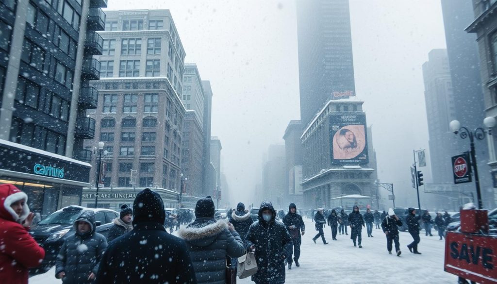
Another Winter Storm is heading our way: A snowstorm is expected to hit parts of the East Coast by this weekend. Forecasters are closely watching the setup. They worry about who will get snow, sleet, or rain. More Storm information.
The last winter storm ended on Jan. 26, leaving snow and ice across the country. Coastal areas saw over 20 inches of snow and sleet. The storm caused more than a million power outages, leading to a long cleanup. Last week’s storm left 62,000 people in Texas alone without power. and almost 900,000 nationwide, still without power as of Monday morning. Due to last weekend’s storm.
After the storm, frigid Arctic air moved in. Temperatures dropped from Texas to Maine and even to Central Florida. On Jan. 27, wind chills were expected to be below zero, posing a risk of frostbite and dangerous travel.
The weekend weather report is now focused on the next winter storm. Meteorologists are looking at climate patterns and La Niña updates. They want to know where the storm will track and when it will occur.
For the East, the situation is clear. With cold air nearby, any moisture could quickly turn into a mess. The timing and track of the next storm will determine the impact. Get your home ready for the next storm front.
Key Takeaways
- A snowstorm approaching could bring fresh wintry precipitation to parts of the East Coast this weekend.
- The Jan. 26 storm left major impacts, including widespread snow and ice and more than a million power outages.
- Some coastal areas saw more than 20 inches of snow and sleet during the previous system.
- Frigid Arctic air followed, with very cold temperatures stretching from Texas to Maine and into Central Florida.
- Below-zero wind chills were a key hazard on the morning of Jan. 27.
- This weekend’s weather report centers on storm track and timing, which will decide who sees snow, sleet, or rain.
Weekend Storm Updates: What Forecasters Are Watching for Jan. 31 and Feb. 1
Forecasters are keeping a close eye on a new storm system for the weekend. They’re watching how cold air from earlier in the week might mix with this new system. The forecast isn’t set in stone yet, but it’s looking significant.
National Weather Service outlook: Models hint at a weekend storm
Allison Santorelli, a meteorologist at the National Weather Service, says models suggest a storm might hit over the weekend. The exact details depend on how the system develops as it gets closer.
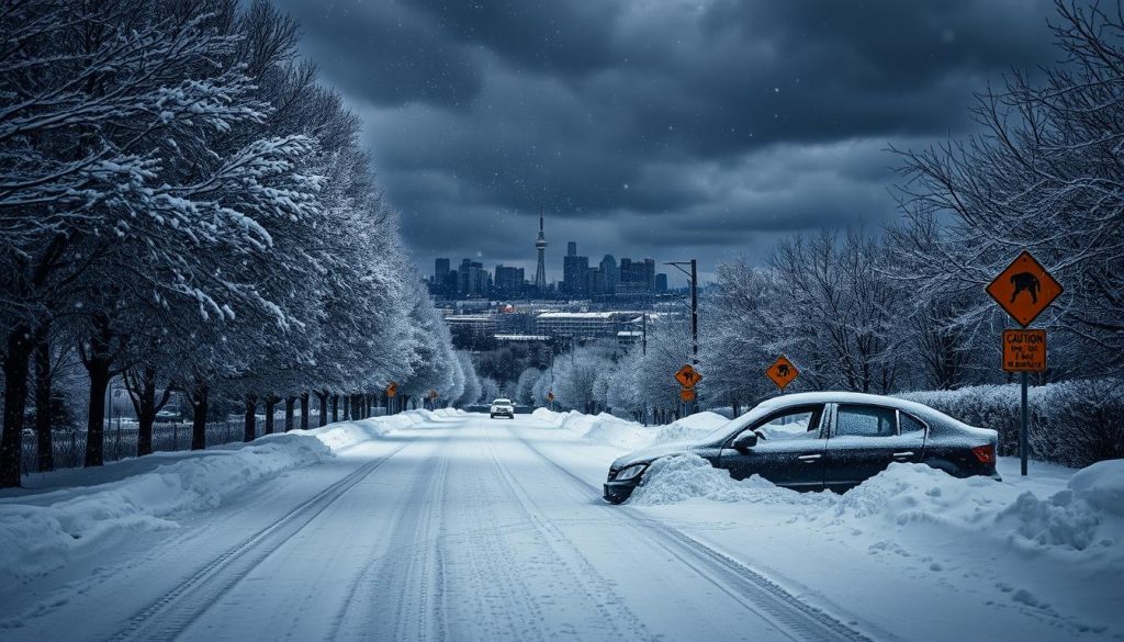
They’re also looking at past storms that caused big problems. This includes the big snow event in Toronto, which was covered live. They want to spot early signs, not just copy what happened before.
Developing a low-pressure system along the coast could drive impacts
Santorelli says cold air already in place could lead to snow, sleet, or rain from a coastal low. Small changes in the storm’s center could greatly affect where the heaviest snow or rain falls.
- Cold air can keep wintry weather going longer than expected.
- Coastal wind can add moisture and lift, increasing precipitation rates.
- Track changes can shift the rain-snow line by many miles.
Why timing could start as early as Friday, Jan. 30
AccuWeather forecasters think parts of the Gulf and East Coasts might see effects as early as Friday, Jan. 30. These updates are important for commuters and airports, as early impacts can add up before the main storm hits.
Paul Pasterok, AccuWeather’s long-range outlook expert, says how fast the storm grows will affect its path and whether it hits the East Coast. The forecast could become more precise as the low deepens.
What’s certain vs. what’s not yet known
Forecasters can’t yet say where the storm will hit, what type of precipitation it will bring, or how much. The forecast is about risk and range, not a single number.
But, they’re sure about one thing: models are watching a weekend window. With cold air already in place and a coastal low on the way, the focus is on changes in storm speed and strength, and in the rain-snow line as more data comes in.
“When the atmosphere is this close to the freezing mark, a small shift in track can change what falls and how fast it piles up.”
For more on how fast watches and advisories can change, check out recent storm tracking updates. They show how quickly forecast confidence can shift.
Another Winter storm is expected to hit this coming weekend latest details
Forecasters are watching a snowstorm approach while the U.S. stays cold. This cold air can make small temperature changes big on the ground.

Cold air already in place could support snow, sleet, or rain
Meteorologist Chris Santorelli said cold temperatures already in place increase the chance of snow, sleet, or rain. The storm’s path and temperature layers are key.
So, the latest details on another winter storm can change quickly. A warm layer aloft can turn snow to sleet, then back again.
Areas that were hit by the Jan. 26 storm could see more wintry precipitation
Communities hit by the Jan. 26 storm might see more wintry weather. Even light new snow can slow travel and recovery.
For more on the evolving setup, check out this report on weekend storm updates. It shows the models’ predictions for late-week timing.
Why the storm track will determine who sees the worst conditions
The storm’s track is key for coastal snowstorms. A closer track means more snow for the mid-Atlantic and Northeast. A farther track means less snow and impacts further inland.
- Storm closer to the coast: higher chance of heavier snow and stronger winds for coastal and I-95 areas.
- Storm farther east: lower heavy snow risk, with sharper cutoffs inland.
- Small shifts: big differences in where snow changes to rain or a wintry mix.
Key quote to know: “There’s a lot of uncertainty on where it tracks.”
Santorelli said, “Right now it’s impossible to determine where the storm will set up, where the precipitation could fall and what kind of precipitation it might be… There’s a lot of uncertainty on where it tracks and how much precipitation parts of the East might get.”
These words highlight the caution around the latest details on another winter storm. With updates shifting, the snowstorm could bring different outcomes across regions.
Winter Storm Forecast and Winter Weather Alert: East Coast Impacts
Early forecasts show a wide range of outcomes. This is why a winter storm forecast can change quickly. For many, the latest forecast depends on small changes in track, temperature, and system organization. Along the East Coast, this uncertainty often leads to mixed precipitation and uneven impacts.
Some of the clearest signals so far point to travel trouble if cold air holds in place.
Precipitation types to watch: snow, sleet, and rain by region
Forecasters are watching a usual setup: warm air trying to push north while shallow cold air stays near the ground. This can flip rain into sleet or sleet into snow within a few miles. A winter weather alert may expand quickly, where roads ice over before crews can treat them.
- Snow becomes more likely where colder air stays deeper.
- Sleet often lands in the “in-between” zone near the rain-snow line.
- Freezing rain is a concern when surface temps stay below 32°F while air aloft warms.
Early model guidance: Gulf Coast to Carolinas risk window into Saturday
Early model trends suggest the first impacts could reach parts of the Gulf Coast and then spread east. The risk window may begin Friday, Jan. 30, and stretch into Saturday. This timeline is important because overnight freezing can make even light precipitation hazardous. Recent disruptions and safety reminders have been tracked in live storm updates, showing how quickly conditions can ripple into airports and highways.
AccuWeather guidance: Rain south of I-10, wintry mix possible farther north
AccuWeather guidance leans toward rain south of Interstate 10 from Louisiana to Florida. Farther north, it flags a zone where snow could mix in across parts of Louisiana, Mississippi, Alabama, and Georgia, depending on where the cold air sets up. As the system shifts east into Saturday, the same guidance points to rain in Florida while wintry weather reaches toward the Carolinas.
Severe winter storm warning: what could trigger alerts and advisories
A severe winter storm warning becomes more likely when forecasters see stronger confidence in heavier precipitation. This is true if the storm strengthens quickly and “locks in” a track that keeps cold air in place longer. If this signal appears, the winter weather alert posture can escalate fast. The latest forecast for the upcoming storm may trigger power outages, downed trees, and dangerous travel conditions.
Conclusion
This weekend’s weather report is a bit cautious. Forecasters are eyeing a storm for Jan. 31–Feb 1. Some signs suggest it could start as early as Jan. 30, but the exact path is unclear, making it hard to predict where the biggest problems will occur.
Cold air is already in place, and a coastal low could quickly change the weather. This could mean snow, sleet, or rain. Areas that are just recovering from the last storm should stay alert, as crews are already working hard.
Recent stories of deep snow, ice, and flight delays show the impact of winter weather. These events can spread fast, affecting many people.
Experts like Allison Santorelli of NWS/NOAA and AccuWeather’s Paul Pasterok are watching closely. They say small changes can make a big difference, near the rain-snow line. For more on how storm tracks can change, check out storm track advisories.
For now, it’s best to keep an eye on the latest updates. If the storm gets stronger or moves closer to the coast, things could get worse fast. So, stay tuned to official forecasts and local alerts.


